‘Traffic Calming’ In Bakersfield? What It Means, And How It Can Make Our Local Street Safer
March 8, 2023 | Article by Chain | Cohn | Clark staff | Tips & Information , News & Media Social Share
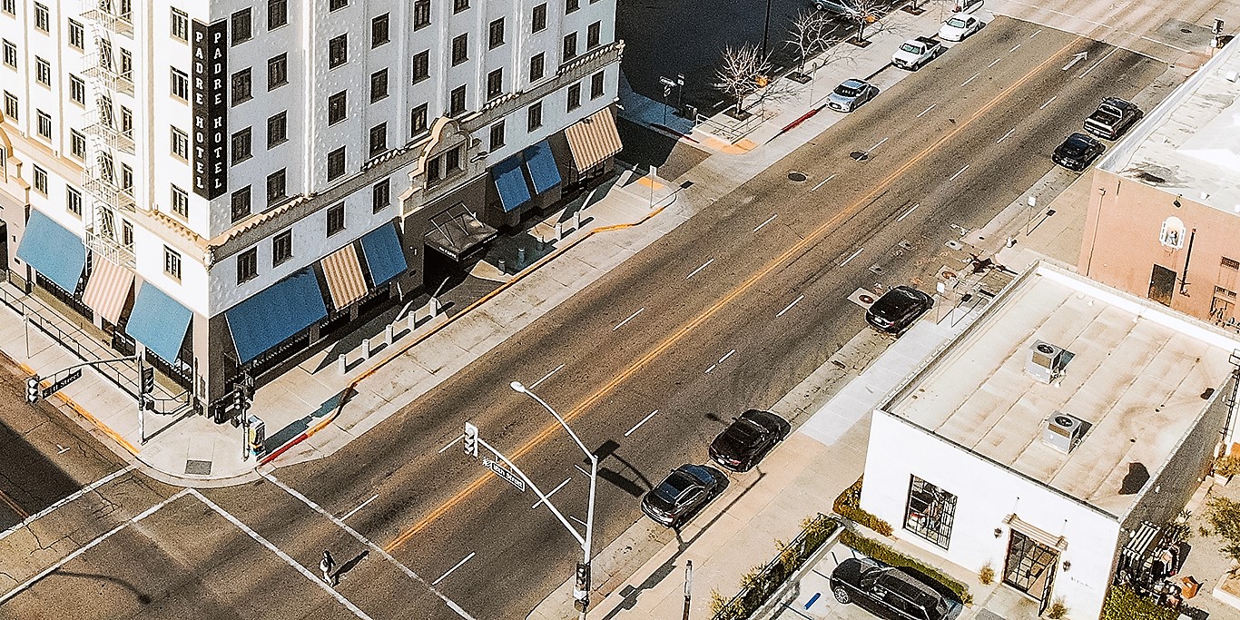
It’s time to “calm” the streets of Bakersfield.
The City of Bakersfield has approved a “traffic calming” program that implements a standardized toolbox aimed to make roadways safer for drivers, pedestrians, and cyclists. Great! … But what is exactly is a “traffic calming” toolbox?
In short, traffic calming reduces the negative effects of motor vehicle use, alters driver behavior, and improves conditions for non-motorized street users. On other words, it consists of physical designs put in place on existing roads to reduce vehicle speeds and improve safety for pedestrians and cyclists.
The new program in Bakersfield will allow residents to apply for a change to a roadway free of charge, whereas before, in order for a neighborhood to change something about a road, like a speed bump or roundabout, residents needed to file a petition with a majority 51% vote. And if that was approved, the petitioning resident had to pay for the improvements themselves. Learn more about the program by reading below.
TRAFFIC CALMING
Traffic Calming is the combination of mainly physical measures that reduce the negative effects of motor vehicle use, alter driver behavior, and improve conditions for non-motorized street users. Some examples, courtesy of Project for Public Spaces, include:
- Diagonal parking: Cars park diagonally, jutting out from the curb, rather than parallel to it.
- Changing one-way streets to two-way: Single or double traffic lanes, either face-to-face or with a median, sometimes flanked by parking.
- Widening sidewalks, narrowing streets and traffic lanes: These techniques provide a flexible way to take back space from the street for non-motor-vehicle uses. Newer evidence shows that lanes as narrow as nine feet can still be safe for driving.
- Bulbs, chokers, and neckdowns: Interchangeable terms for sidewalk extensions in selected areas – such as at intersections or at mid-block – as opposed to a full sidewalk widening.
- Chicanes: Sidewalk extensions that jog from one side of a street to the other to replicate such a circuitous route.
- Roundabouts: Large, raised, circular islands at the middle of major intersections, around which all oncoming vehicles must travel until reaching their destination street, where they then turn off.
- Traffic circles: Essentially “mini-roundabouts” designed for small intersections, often used to slow traffic from a wide street into a smaller local street.
- Raised medians. Elevated islands parallel to traffic lanes down the middle of the street, as on a boulevard.
- Right corner curbs: The longer the radius of a curve, the faster a vehicle can move around that curve.
- Diverters: These physical barriers redirect traffic heading for a certain street onto a different course, reducing vehicle overload on vulnerable (usually residential) streets overrun by through traffic looking for shortcuts.
- Road humps, speed tables, and cushions: These devices reduce speed by introducing modest up-and-down changes in the level of the street, thereby requiring drivers to decelerate.
- Rumble strips and other surface treatments: Provide visual and aural cues to alert drivers to areas that require special care.
A program like this is not new. Similar systems have been implemented in cities across the country for decades, many by Kimley-Horn, a national consulting firm the city employed to build a toolkit tailored to Bakersfield. The U.S. Department of Transportation gives two real-life success stories from traffic calming:
- Lafayette, Louisiana adopted calming strategies in 2009, where residents could apply for consideration for traffic calming measures with a petition signed by more than half of area residents. City staff members then collect data and conduct a design meeting to develop a plan. If the proposed plan is signed by more than 66% of area residents, then the measures in the plan are implemented when funding is made available. Traffic calming devices implemented under the program include speed humps, “mini” roundabouts, and chokers. Those projects found a drop of more than 10% in total traffic volumes. On one corridor, traffic decreased, more vehicles were traveling less than 23 miles per hour, and fewer vehicles were traveling 23 miles per hour or faster.
- The Seattle Department of Transportation set a goal of zero traffic-related fatalities by 2030 in its 2012 Road Safety Action Plan, and identified speed reduction as one of the priority areas to reach that goal. Among changes made were improving placement and visibility of speed limit signs, engaging neighborhood organizations and community associations, and upgrading speed-related signage in school zones. Evidence suggests that these speed reduction efforts worked, and are reducing crashes and improving traffic safety in Seattle.
BAKERSFIELD’S PROGRAM
The new traffic calming program will replace a late 1990s ordinance that city staff agreed was ineffective and time-consuming, according to The Bakersfield Californian.
“The request to update the city’s traffic calming program was made by Ward 2 Councilman Andrae Gonzales on Feb. 19, 2020,” The Californian reported. “In those three years, Bakersfield saw more than 80 fatal collisions involving pedestrians or cyclists, according to Bakersfield Police Department data.”
As reported by Chain | Cohn | Clark, more people died on our country’s roadways. The number of people killed on U.S. roads in 2021 — 42,915 — was also 10% higher than the year before, and the largest annual percentage increase since 1975 when such tracking began. At the same time, a nationwide study lists Bakersfield as the No. 2 most dangerous metropolitan area in the United States to be a pedestrian. And even more, Bakersfield lays claim to being No. 1 on the list worst driving cities, according to a report on the 70 best and worst driving cities in the nation.
Since 2010, the Public Works Department has performed nearly 400 studies on roads, according to The Californian. This resulted in one major improvement in the past 26 years, a speed bump added to El Toro Drive in south Bakersfield.
The new system starts with a submission, by a resident or group, to the Public Works Department. From there, the city gathers data on the submitted site, either through meeting with people in the neighborhood, or by conducting assessments by tracking measures such as speed, accident history and daily volume of cars. Assessments are scored and from there, the city prescribes an either tier one or tier two solution, which differ in price and scope of construction. The size of the road, its location, speed limit and other factors determine a corresponding number of solutions. Most of the factors included in the city’s toolkit focus on roads with speed limits at or under 45 mph, though there are fixes for faster streets.
Regardless of the fix, the city follows up to see if the fix actually made a difference. Officials hope these tools will result in less cut-through traffic, fewer collisions and fewer pedestrian deaths, which translates to an improvement in public safety and overall quality of life. Fixes will be paid for by capital improvements funding outlined each year in the city’s budget, which was allocated at $500,000 for traffic calming fixes this fiscal year. About $6 million is available in federal funding earmarked for improvements on routes, or in close proximity to schools and parks.
———
If you or someone you know is injured in an accident at the fault of someone else, or injured on the job no matter whose fault it is, contact the attorneys at Chain | Cohn | Clark by calling (661) 323-4000, or fill out a free consultation form, text, or chat with us at chainlaw.com.